
What Is Differential GNSS and How Does It Improve Accuracy?
In the world of navigation and positioning, accuracy is crucial. Whether it’s for autonomous vehicles, agriculture, or surveying, getting precise location data can make all the difference. This is where Differential GNSS (DGNSS) comes into play. In this article, we will explore what Differential GNSS is, how it works, and how it improves the accuracy of Global Navigation Satellite Systems (GNSS).
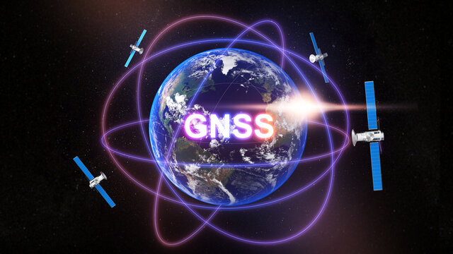
What Is GNSS?
Before diving into Differential GNSS, it’s essential to understand what GNSS is. Global Navigation Satellite Systems (GNSS) refer to a constellation of satellites that provide global positioning data. The most commonly known GNSS is GPS (Global Positioning System), but there are others, such as Russia’s GLONASS, Europe’s Galileo, and China’s BeiDou.
GNSS allows users to determine their location, velocity, and time anywhere on Earth by receiving signals from satellites. However, while GNSS is effective for general positioning, it does have limitations in terms of accuracy, often providing a margin of error ranging from 5 to 10 meters.
What Is Differential GNSS (DGNSS)?
Differential GNSS (DGNSS) is an enhancement to standard GNSS system that increases the accuracy of positioning by correcting errors in the satellite signals. DGNSS works by using a network of fixed ground-based reference stations that receive the same satellite signals as the user’s GNSS receiver. These reference stations know their exact position and can calculate the errors in the GNSS signals.
Once the errors are identified, the reference station sends correction data to the GNSS receiver, which adjusts its calculated position accordingly. This results in much higher accuracy, often reducing the margin of error to just a few centimeters, or even millimeters, depending on the system and application.
How Does Differential GNSS Improve Accuracy?
Differential GNSS enhances the accuracy of satellite-based positioning in several key ways:
1. Error Correction from Reference Stations
The primary method by which DGNSS improves accuracy is through the error correction provided by ground-based reference stations. These stations receive the same satellite signals as the user’s GNSS receiver and calculate the difference between the measured and actual position. The reference station then broadcasts this correction data to the receiver, which can adjust its own position for a more accurate result.
2. Compensation for Atmospheric Disturbances
GNSS signals can be affected by various environmental factors, such as ionospheric and tropospheric disturbances. DGNSS helps mitigate these issues by using multiple reference stations spread over different geographic locations. By calculating and transmitting localized correction data, DGNSS compensates for atmospheric distortions that can affect signal accuracy.
3. Minimizing Multipath Errors
Multipath errors occur when satellite signals bounce off nearby structures (buildings, trees, etc.) before reaching the receiver, causing delays in the signal’s travel time. DGNSS can help minimize this effect by comparing data from multiple reference stations and applying corrections to account for any signal delays caused by obstructions.
4. Real-Time Corrections for Dynamic Applications
For applications requiring real-time accuracy, such as autonomous vehicles or precision farming, DGNSS can provide near-instantaneous corrections. By receiving the correction data in real time, GNSS receivers can continuously adjust their positions and ensure high accuracy throughout their operation.
Applications of Differential GNSS
DGNSS is used across various industries where high-precision positioning is essential. Some of the key applications include:
- Surveying and Mapping: DGNSS is commonly used in geodetic surveys and construction projects where centimeter-level accuracy is required.
- Autonomous Vehicles: Self-driving cars rely on precise navigation to avoid obstacles and follow routes. DGNSS improves the positioning of these vehicles, ensuring they stay on track.
- Agriculture: Precision farming relies on accurate GNSS data for tasks like planting, fertilizing, and harvesting. DGNSS helps farmers reduce waste and improve yields by ensuring their equipment is in the correct location at all times.
- Maritime and Aviation: For navigation in challenging environments, DGNSS provides critical accuracy for ships and aircraft, especially when in close proximity to land or in areas with limited satellite visibility.
Conclusion
In conclusion, Differential GNSS is a powerful technology that enhances the accuracy of standard GNSS systems by using reference stations to correct satellite signal errors. By providing real-time corrections, compensating for atmospheric disturbances, and minimizing errors like multipath, DGNSS can achieve centimeter-level positioning accuracy. This makes it an essential tool for applications that demand high precision, from surveying and autonomous vehicles to agriculture and beyond. As technology continues to evolve, DGNSS will likely play an even more significant role in shaping the future of global navigation systems.